
Cascadia Subduction Zone

Washington State History Sub Plans
Hey there, lovely Middle School Social Studies Teachers
I'm a Washington State local, I remember taking Washington State history with Mr. Ohashi, it was so long ago kurt cobain was still hanging out under a bridge in aberdeen. We were often told that our area was overdue for ‘the big one’. We knew about the potential of an earthquake, and most of us remember when mount saint helens erupted. One topic we never discusses was the risk of tsunami. I never really knew how far inland the waters would reach, but signs for tsunami evacuation routes were not uncommon. After careful thought i decided to create a few products to compliment Washington state history and the first product is about the cascadia subduction zone.
I am not sure ‘overdue’ is the right word, because geological records show ‘the big one’ happens every 200-500 years and the last big one was in the year 1700. the state of Washington will be hit by a massive earthquake from our subduction zone region, where the plate of juan de fuca and north American plate meet. When it happens, the death told is going to be greater than 911 and hurricane katrina combined.
Introducing the Middle School Social Studies Emergency Sub Plans, the first-ever product focusing on Washington State history. Initially conceived as an emergency sub plan, it's open for any teacher's use. This comprehensive plan includes detailed teacher instructions for effectively deliver the lesson to students. Students will engage with four (4) pages of reading and activities. An integral aspect involves guiding students to generate questions about earthquakes and tsunamis, encouraging collaborative discussions among peers. Additionally, students will explore the Pacific Northwest Seismic Network, gathering and documenting recent earthquake data specific to Washington State. This illuminates the frequent occurrence of earthquakes, emphasizing how minor tremors can trigger major ones. The lesson's structure ensures students actively think through and discuss the content in a coherent manner.
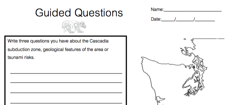
Next, the teacher will provide informational text, and a guided page where they learn to formulate questions about our earthquakes and tsunami risks. As part of our social studies standards, we want students to learn how to formulate good questions.
The Cascadia Subduction Zone | the basics
When you deliver this lesson to students, begin the lesson with a basic earth science lesson. Let's start with the basics. The Cascadia subduction zone is the point where the North American tectonic plate and the Juan de Fuca plate meet. If you are standing on the beach in ocean shores the subduction zone is about 75 miles West out in the pacific ocean. This is where The Juan de Fuca plate is quietly sliding beneath the North American plate. Picture it like pushing your sleeve up your arm while your arm remains still. But here's the sobering reality: this movement can't go on indefinitely. The North American plate is essentially a coiled spring, waiting to release its pent-up energy. Students will read informational text about the subduction zone (featured below) which also has a small coloring section which illustrates what happens underground when the zone buckles as well as the impacted cities.
The Big One

Cascadia Subduction Zone Coloring Page for Washington State History
First things first, this is not a question of ‘if’ Washington state will be hit by a tsunami, the question is when. When it happens, What we must face is the potential of two scenarios. First, the 'Big One,' where only a portion of the Cascadia subduction zone ruptures, resulting in an earthquake between magnitude 8.0 and 8.6. This is a significant event in its own right. But then there's the 'Very Big One,' where the entire zone gives way, triggering an earthquake between magnitude 8.7 and 9.2. It's this 'Very Big One' that holds our collective fears, as it has the potential to create a catastrophic tsunami that will wipe out much of aberdeen, hoquiam, ocean shores, Ocean Side and many other small cities.
Greys Harbor County's Vulnerability
Let's focus on where i grew up - Greys Harbor County. When the 'Big One' strikes, our coastline will experience rapid subsidence – the land will sink. Within minutes, an immense tsunami will follow. we have a warning system, but the problem is that people in ocean shores and surrounding towns will have only twenty minutes to evacuate. i also remember the road geography of the area as well, to leave the Aberdeen area there is one freeway. If there is a tsunami, a particular area just as we leave Aberdeen will bottleneck and traffic will not move. What I am saying is, I think that even if people are given over an hour to evacuate, many will not make it out before the wave hits.

Populations of vulnerable Areas in Washington State
Thank you for visiting me!
Naomi